Almaty, as a plan
A poster of Almaty, Kazakhstan, drawn from the map itself: every building, street and river around its centre, in ink and colour.
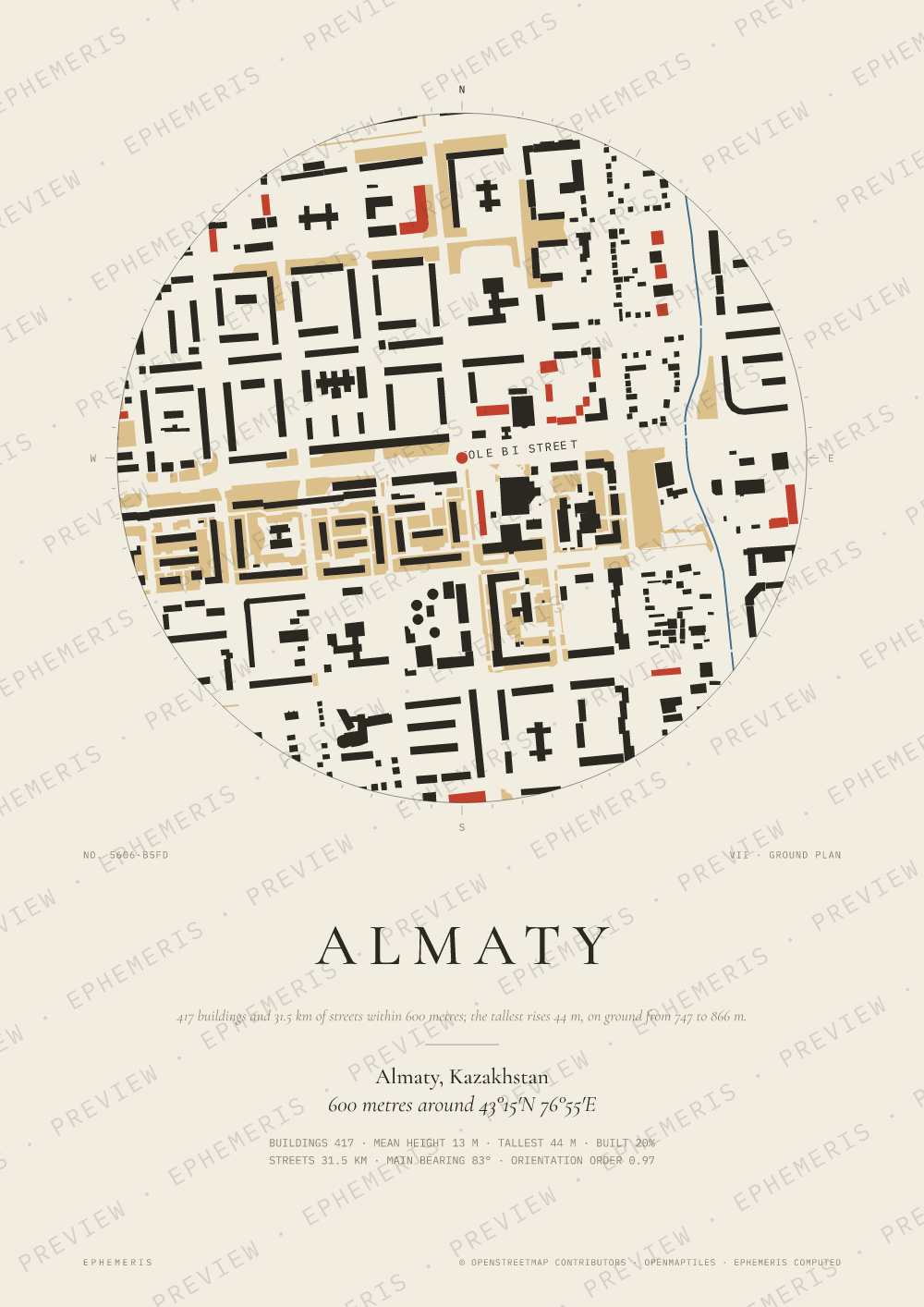
- 417 buildings and 31.5 km of streets within 600 metres of the centre; the tallest rises 44 m, and buildings cover 20% of the ground.
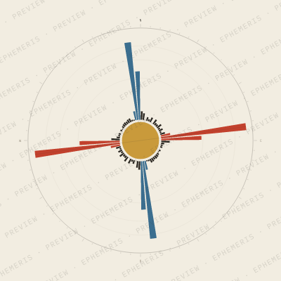
- Its streets have an orientation order of 0.97: close to a grid (0 is every direction, 1 a perfect grid).
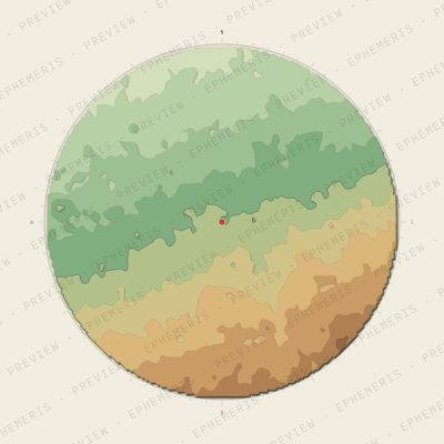
- Over four kilometres around, the ground lies between 747 and 866 m above the sea.
Or type your own address, street or coordinates: any point on Earth.
Digital files €9, posters from €35, printed in Europe.
Not made by AI: every line is computed from OpenStreetMap data and open terrain data.
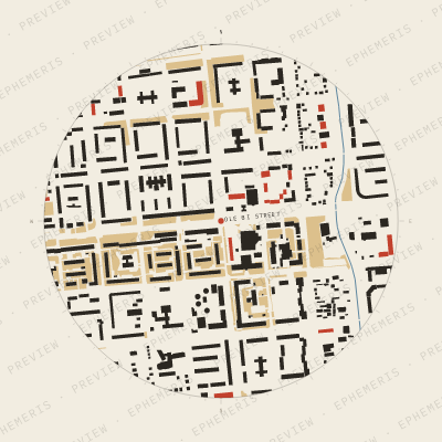
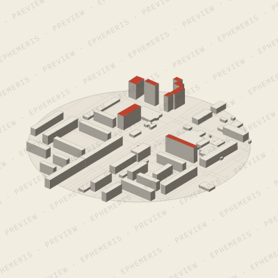
Four ways to draw Almaty
All city maps · All famous days
Map data © OpenStreetMap contributors · OpenMapTiles.